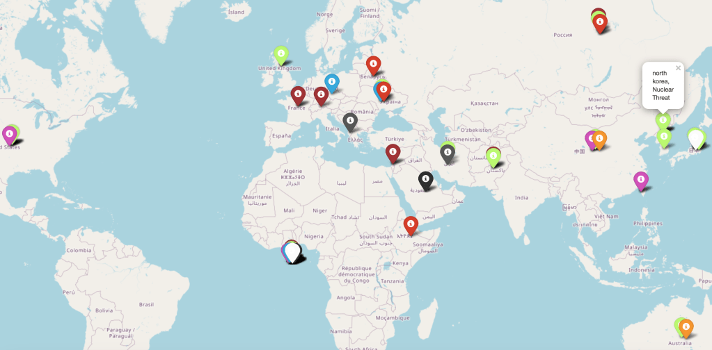
These are a few samples of one of the maps produced by my thesis in Chapter 7. I could produce them within the minute timeframe as the text data from the tweets was being processed. These maps were from March 17th, 2023, where there was a lot of geopolitical action surrounding North Korea testing missiles.
Map 1:
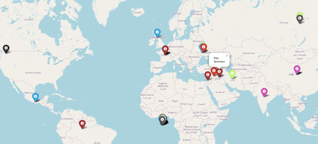
Map 2:
Map 3:
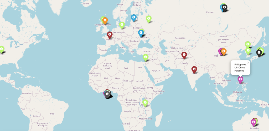
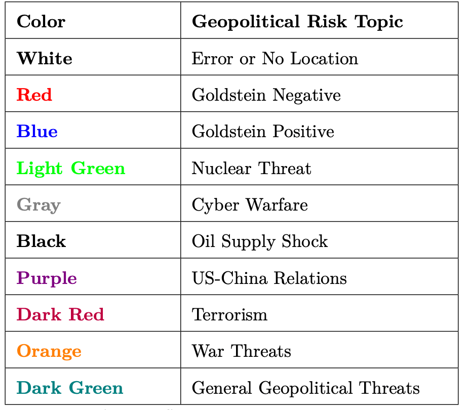
The cluster of tags off the coast of West Africa are errors, either entities that would incorrectly classified as places or did not have an identifiable latitude and longitude. Below is the key for the maps.
Thanks for reading and please contact me with any questions!
